Your best helper in outdoor activities
We are developing user friendly applications that will make your life easier for your outdoor activities. We improve our applications according to the needs of our users and keep them up-to-date.
Download App

Our apps are complete helper for mountaineering, trekking and hiking, cross running, scouting, hunting, fishing, geocaching, off-road navigation and all other outdoor activities and sports.
With satellite navigation systems such as GPS, GALILEO and GLONASS (GNSS) supported by your device and your sensors, They shows your most accurate position on different map layers..

You can see the coordinates of your location in MGRS, UTM, D°M'S", SK-42, Lat/Lon formats.

You can find the direction of your target in degrees and mils angular units.

You can learn the altitude of your own location or a target location.

You can see the elevation profile of your route on the graph.


You can add custom route and calculate total distance.

You can select an area on the map and calculate the area in square meters.

You can mark the desired locations on the map with various icons and color options.

You can import and export KML files which are a global format.
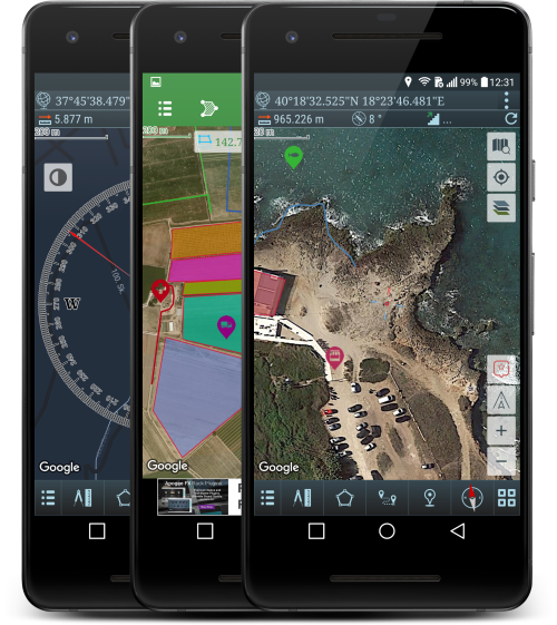
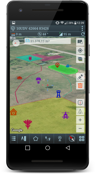
Some screenshots of our apps.
Some of our users' comments for our applications.